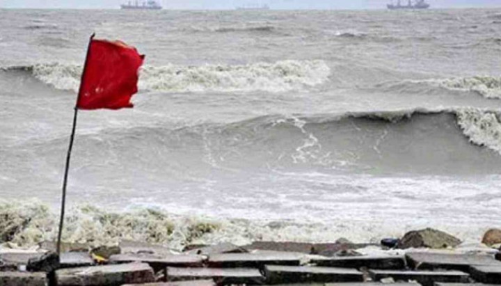
Bangladesh Meteorological Department (BMD) forecasts varied weather patterns across the country, with rain or thundershowers expected in several divisions, including Dhaka, Khulna, Rajshahi, Barishal, and Chattogram.
As per the latest bulletin from the BMD, “Rain or thundershowers are likely at a few places in the Khulna and Dhaka divisions, with occasional showers predicted in Rajshahi, Barishal, and Chattogram divisions.”
In other parts of Bangladesh, the weather is set to remain predominantly dry, albeit with partly cloudy skies.
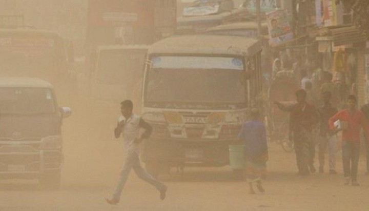
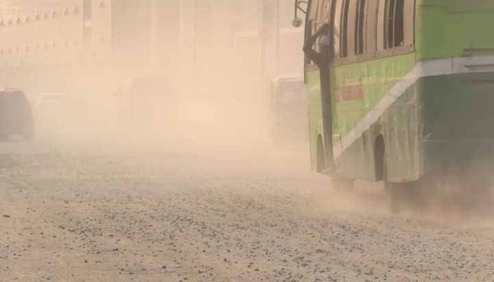
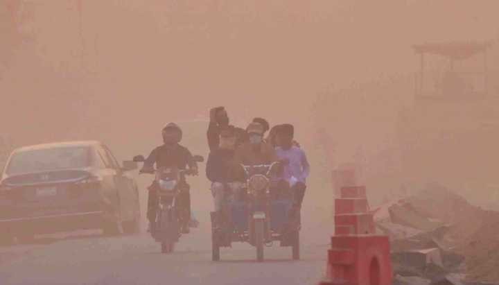
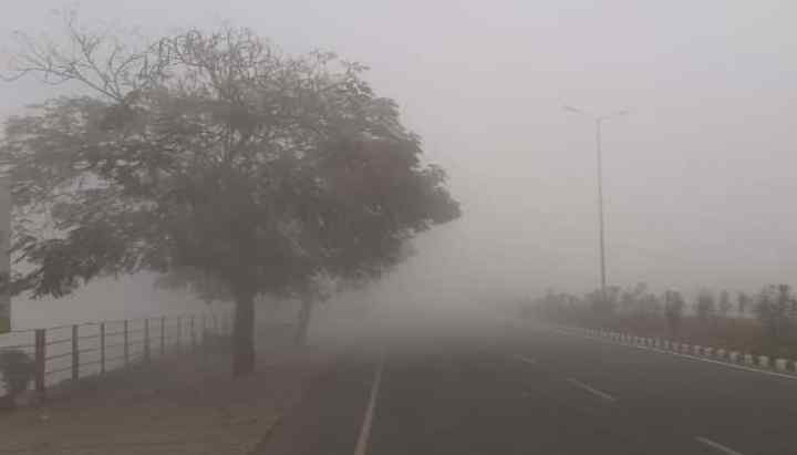
The report also warns of moderate to thick fog formation over river basins, with lighter fog likely in other areas. This foggy condition, particularly dense near rivers, may temporarily disrupt inland river transport from late night until morning.
Weather forecast: Light rain in Ctg, Barishal divisions, fog disruptions across country, BMD says
Temperature fluctuations are also on the horizon, with a slight increase in night temperatures and a minor decrease in daytime temperatures expected nationwide.
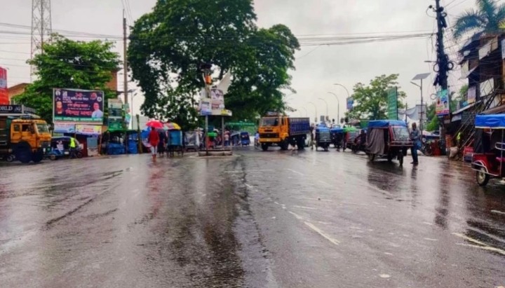
From Chuadanga, UNB’s correspondent reports that the district town has been experiencing light rainfall since Tuesday night. The local Chuadanga Weather Observatory Centre, under the supervision of Officer-in-Charge Jaminur Rahman, recorded 3 mm of rainfall by 6 am on Wednesday. Additionally, a slight rise in temperature was observed, with the mercury hitting 15.3 degrees Celsius early this morning.
Weather forecast: Fog across the country with light rain in Ctg, BMD says
The forecast suggests continued rainfall in Chuadanga and surrounding areas until Friday, indicating a wet end to the week for the residents.
-UNB